Geology & Mineralisation
Type 1A Emerald Deposit
Mount Ida Greenstone Belt, Yilgarn Craton
- Located within the Archaean Mount Ida Greenstone Belt of the Yilgarn Craton, one of many north–south trending greenstone belts in the Eastern Goldfields.
- The greenstone belt trends broadly north–south through the Project area.
- Local geology comprises a metamorphosed mafic–ultramafic sequence intruded by pegmatite dykes.
- The sequence has been metamorphosed to greenschist facies.
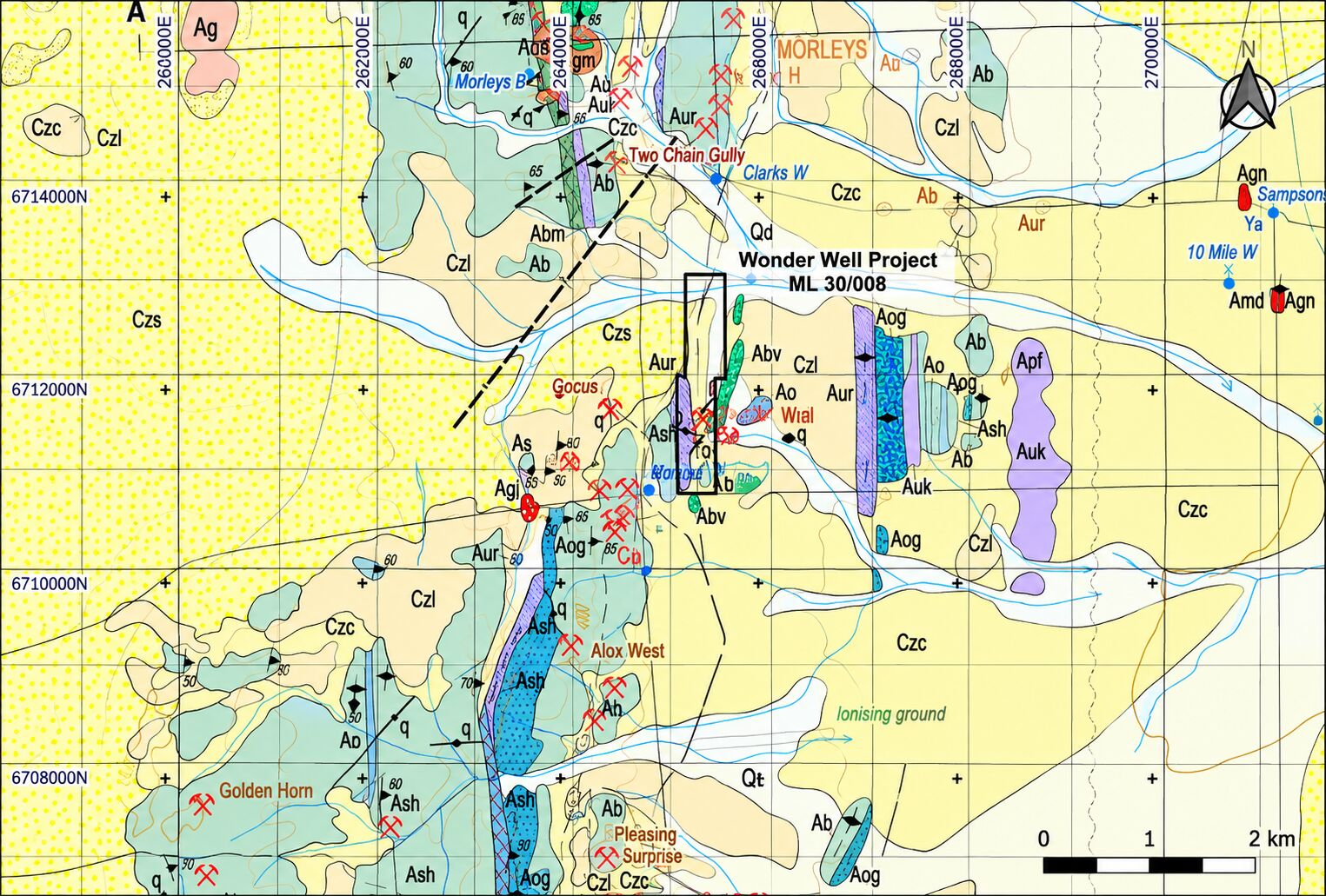
Local Geology
| Geological Unit | Key Characteristics |
|---|---|
| Ultramafic Rocks | Approximately 120 m wide zone; metamorphosed, with chlorite dominant and relict spinifex textures indicating original komatiitic flows. |
| Mafic Rocks | Form much of the local outcrop, typically as low ridges, and comprise chlorite, green amphibole and plagioclase. |
| Pegmatites | NNE–SSW trending dykes emplaced broadly along the ultramafic foliation; narrow veins generally up to approximately 0.5 m. |
Type 1A Deposit Style
Menzies emerald mineralisation is classified as a Type 1A deposit style, where pegmatites intrude mafic and ultramafic rocks and emeralds occur within the pegmatites and adjacent phlogopite-rich mica schist alteration zones.
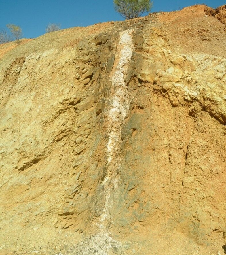
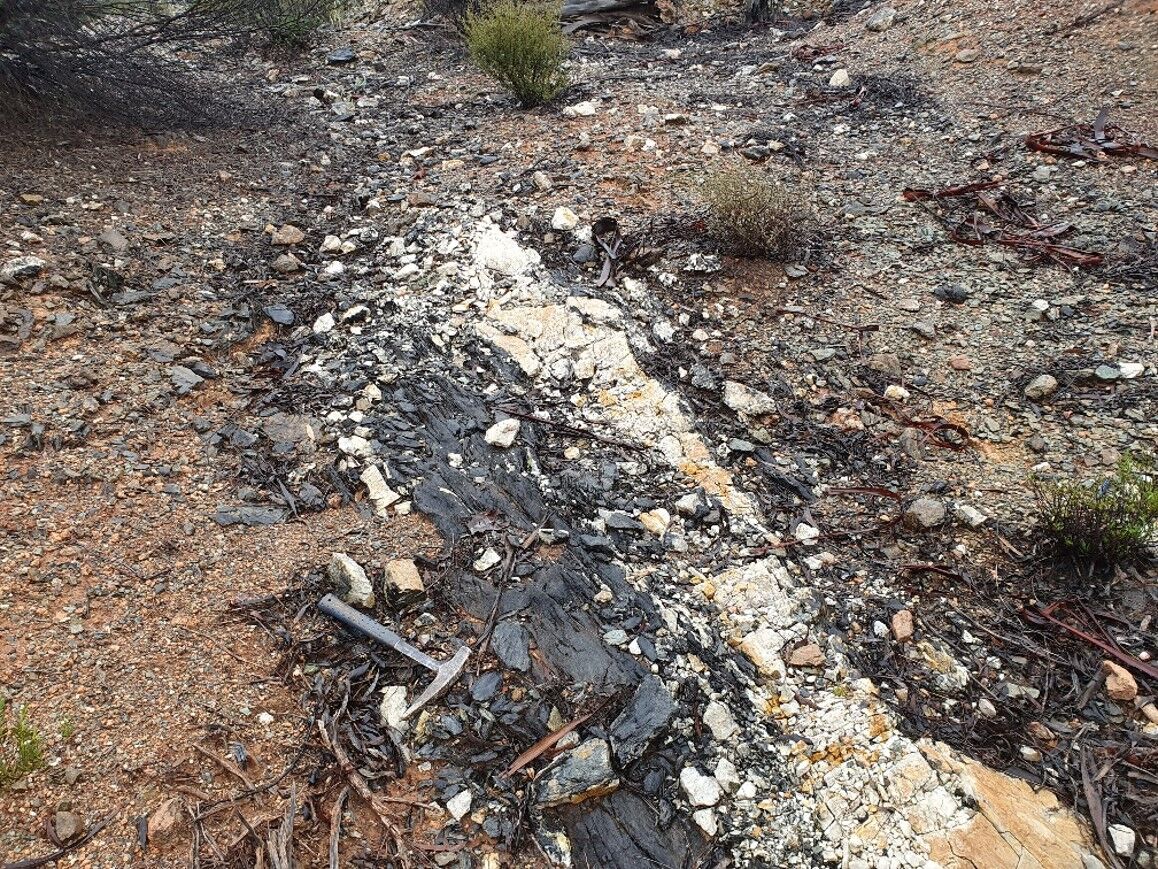
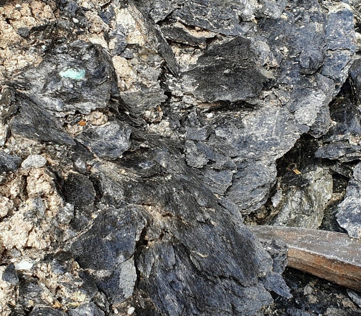
Host Rocks
The mafic–ultramafic sequence forms part of the Archaean Mount Ida Greenstone Belt and has been metamorphosed to greenschist facies. Emerald is a variety of beryl in which chromium or vanadium impurities give the mineral its strong green colour; at Menzies these are sourced from the adjacent ultramafic wall rock.
Mineralisation Setting
Emeralds occur both within pegmatite dykes and within a phlogopite alteration zone (“mica schist”) immediately adjacent to the pegmatites. The emerald-bearing mica schist forms a contact zone between the pegmatites and their Archaean ultramafic host rocks, and these zones are termed “shoots”.
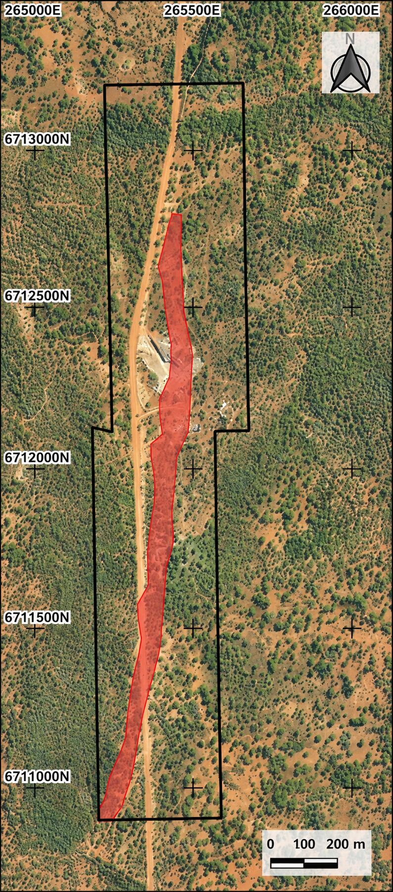
Potential Emerald Mineralisation Corridor
- Potential emerald mineralisation is interpreted within a corridor approximately 50 m wide and extending for at least 1.9 km, running almost the full length of the Mining Lease.
- The interpreted corridor links a series of known and newly identified mica schist occurrences across the Mining Lease.
- Historical mapping and more recent exploration support the interpretation of a broader mineralised trend.
- Further exploration is required to determine the continuity and full extent of mineralisation along the corridor.
| Key Feature | Interpretation |
|---|---|
| Strike Length | At least 1.9 km |
| Indicative Width | Approximately 50 m |
| Geological Control | Multiple mica schist occurrences associated with pegmatite–ultramafic contacts |
| Exploration Status | Continuity and full extent remain to be tested |
Known Shoots on the Mining Lease
Historical Mapping
Historical mapping identified seven shoots in the south-central part of the Mining Lease, with more recent exploration and trial mining finding additional mica schist shoots in the north-central parts.
Depth Potential
Historical mining was predominantly shallow, within approximately 5 m of surface, while historical drilling indicates selected mica schist shoots extend to depths of at least 30 m below surface.
Areas of Significant Volume
Shoots 1, 4 and 5, Shoot 2 and the current open pit area appear to have potential for significant volumes of mica schist. Shoot 2 is the largest unmined shoot identified to date.
New Discovery
The 2026 trenching program identified a new mica schist zone approximately 26 m wide at Trench 2720, in the north of the Mining Lease, which is yet to be fully explored.
Technical information on this page is summarised from the independent technical report prepared in connection with the Company’s proposed IPO. Emerald distribution in the mica schist is discontinuous (“poddy”) in nature. No Mineral Resource or Ore Reserve has been estimated for the Project.